
Bristol Township Previous Residents by Era
Different records answer different parts of a Bristol Township address history. The county tax form is a current starting point, not a dated household roll. The Recorder supplies the title trail, Grundy Library supplies nearby historical-directory and newspaper leads, and federal census releases provide snapshots rather than a year-by-year record. Start with the source nearest the period you need, then compare the address, parcel, name spelling, and record custodian before treating two mentions as the same place.
| Source | Years It Covers | Where Held | What It Shows |
|---|---|---|---|
| Bucks Recorder holdings and index books | 1684 to present | Recorder research area, LANDEX, and copy channels | Title parties, legal description, and prior-conveyance references |
| Bucks Tax Claim Property Information | Live current data, no historic cutoff published | County property form | Parcel, location address, municipality, owner-name, and mailing filters |
| Bristol directories | 1871 to 1954, repository profile | Grundy Library | Name and address leads when the year and Township coverage fit |
| Bucks County Courier Times | 1911 to Dec. 2023 on microfilm; Nov. 2002 to present online | Grundy Library | Obituary, event, development, and street-context leads |
| Federal census | 72-year public-release rule; 1950 is the newest public release | NARA and library genealogy services | Household snapshot and relationship clues |
When a date falls before a directory run or a collection does not cover the Township street, move outward to the Recorder, the Bucks County Historical Society route, or a library database. Do not turn an absent listing into proof that no one was there. The local record trail has gaps, and the closest holding may be in adjacent Bristol Borough or Doylestown rather than in the Township.
Bristol Township Parcel Keys Before Names
A present-day parcel creates the cleanest bridge to past residents. On the Bucks County Tax Claim Property Information form, choose Bristol Township when needed and enter a house number plus street name in Location Address. The form also accepts a parcel number, last-name-first owner search, mailing address, city, and ZIP. Keep all parcel-number dashes. The physical location, mailing address, and legal description are separate kinds of information, so a mailing result is a correspondence clue rather than proof of who was present at the property.
From that result, record the parcel number, situs or location address, the name used for the property record, and any legal or tax-map reference that is posted. Bucks County Maps & Data can provide parcel and municipal context, but its public map is not a title source. The careful sequence is address to parcel, parcel to title, then title to the former owner. For a current, full-street address sequence, use the Bristol Township street directory rather than extending a house-history search beyond its one-parcel purpose.
Note: A tax-property screen has no published historical coverage start date, so its current fields should launch research rather than date an older household.
Bristol Township Recorder Time Bands
The Bucks County Recorder of Deeds Property Records route reports holdings from 1684 to the present. Its historic index bands run from 1684 to 1919, then through 1920 to 1941, 1942 to 1951, 1952 to 1963, 1964 to 1971, 1972 to 1979, 1980 to 1988, 1989 to 1993, 1994 to 1998, and 1999 to present. The older books are grouped by time and party, not by a simple street-address index. That is why a parcel-led trail is more reliable than guessing from an old house number.
LANDEX reports Bucks data and index coverage from 1980 to present, while reporting images from 1684 to present. It is fee-based, and the Recorder remains the practical fallback for historic index guidance. The public research area, a brief staff LANDEX tutorial, telephone or mail copy requests, and an owner’s free deed copy by email are all documented channels. Staff-request copies cost $1 per page, public-computer copies cost $0.50 per page, certification adds $1.50, and a mail request needs a self-addressed stamped envelope. Newly recorded documents are normally available in LANDEX within 24 to 48 business hours, while verification takes about three weeks.
The Recorder changed its citation practice on July 1, 2012, using instrument numbers for new recordings instead of new book and page citations. That is a citation change, not a custody break. For Bristol Township previous residents research, preserve whichever reference the deed gives and do not convert an older book and page into a guessed instrument number.
Bristol Township Deed Chain Backward
Bucks deed research works through party roles. The Recorder calls a seller or grantor the direct party and a buyer or grantee the indirect party. After locating the current owner from the parcel record, search that person or entity as an indirect party with an approximate purchase period. The Recorder's historical FAQ directs researchers to the recital, also called the being clause, after the legal description. It identifies the earlier transfer and gives the prior book, page, or instrument reference.
Open the cited document, preserve its legal description and names exactly, and repeat the cited transfer. A corporate, estate, or trust name must be followed as the named record party, not replaced with a similar individual name. This is a title path. It can identify ownership changes, but it does not establish every household at an address or the date a structure was built.
- Use the property form to capture the current parcel, location address, and owner clue.
- Search the current owner as an indirect party in LANDEX or in the Recorder research area, using an approximate year.
- Read the deed's legal description and recital or being clause, then write down the cited earlier reference.
- Open that earlier deed and search the prior seller's acquisition as an indirect-party transaction when necessary.
- Repeat backward, shifting to historic index books, the research area, or a copy request when the online path is not enough.
- Grantor
- The party transferring property in a deed, commonly the seller.
- Grantee
- The party receiving property in a deed, commonly the buyer.
- Chain of title
- The linked sequence of recorded transfers for the same parcel or legal description.
- Legal description
- The recorded land description or lot reference that can hold a trail together when a street address changes.
See the Recorder's being-clause explanation before using the source image below. It shows the official historical-research guidance that supports a backward title trail.
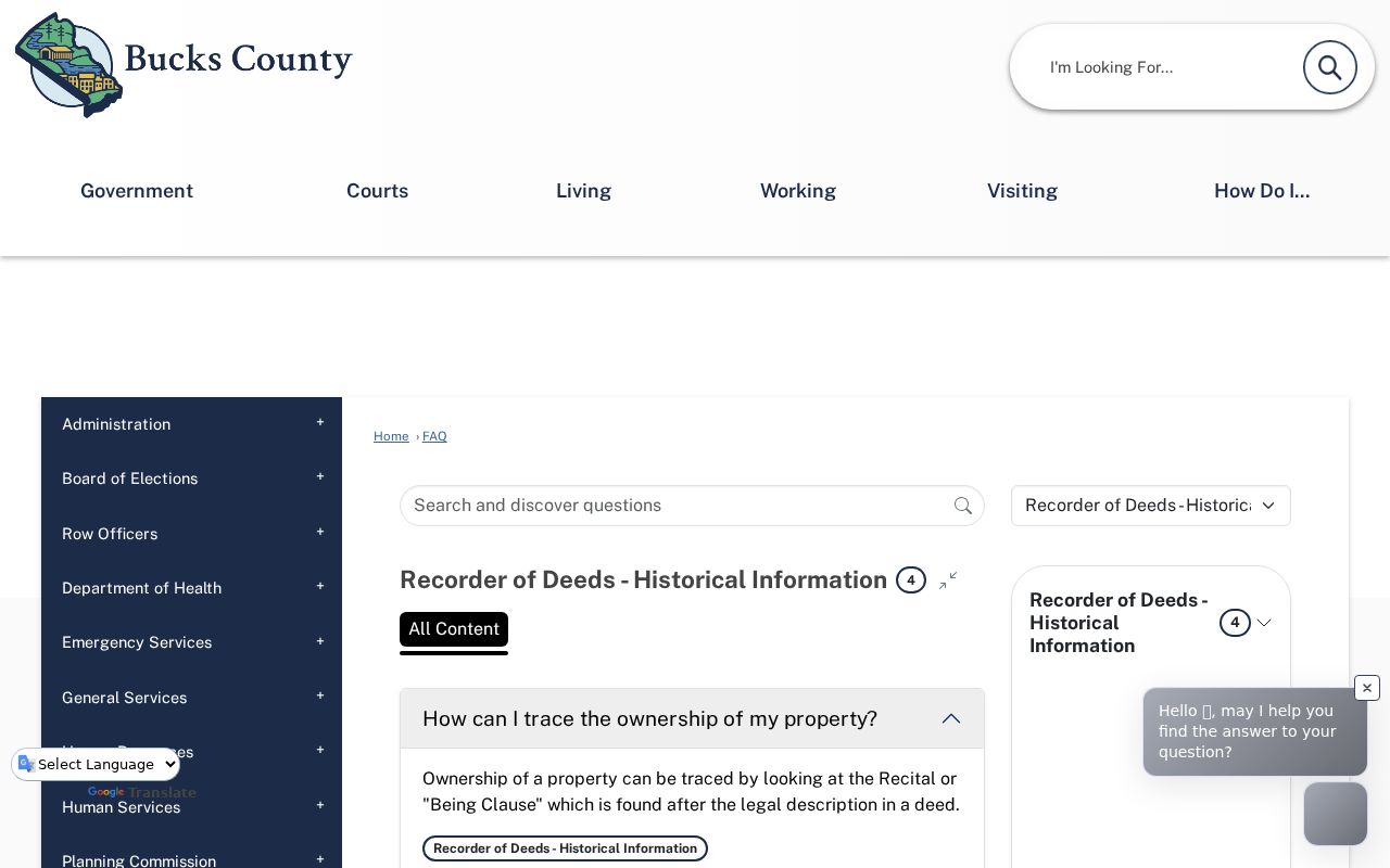
The key fact is the reference inside the deed. It directs the next record in the Bristol Township title sequence instead of treating an address as the historic index.
Bristol Township Previous Residents in Directories
Title and occupancy are different questions. The Margaret R. Grundy Memorial Library in adjacent Bristol Borough identifies its Bristol History collection as serving Bristol Borough and surrounding areas. A Bucks County Genealogical Society repository profile reports Bristol city directories from 1871 to 1954. Ask the library whether the particular year and Township or Levittown street occur in a volume before using a listing as an address lead. The digitized Bristol Borough Directories collection has twelve intermittent volumes, including 1871, 1884, 1891, 1894, 1898, 1905, 1910 to 1911, 1914, 1929, 1941, 1951 to 1952, and 1953 to 1954.
A printed address listing is time-stamped evidence, not a full household census. A particular volume may have a street or reverse section, but the research does not establish that every volume does. Record the exact publication year and page, verify the place name, and check initials or spelling variants. The dedicated Bristol Township city directory page concentrates on the collection access and directory-reading details.
Grundy's Bristol History archive guide describes appointment-only original collections, ongoing processing, and remote research. It is a useful lead for the surrounding region's newspapers and local-history material.
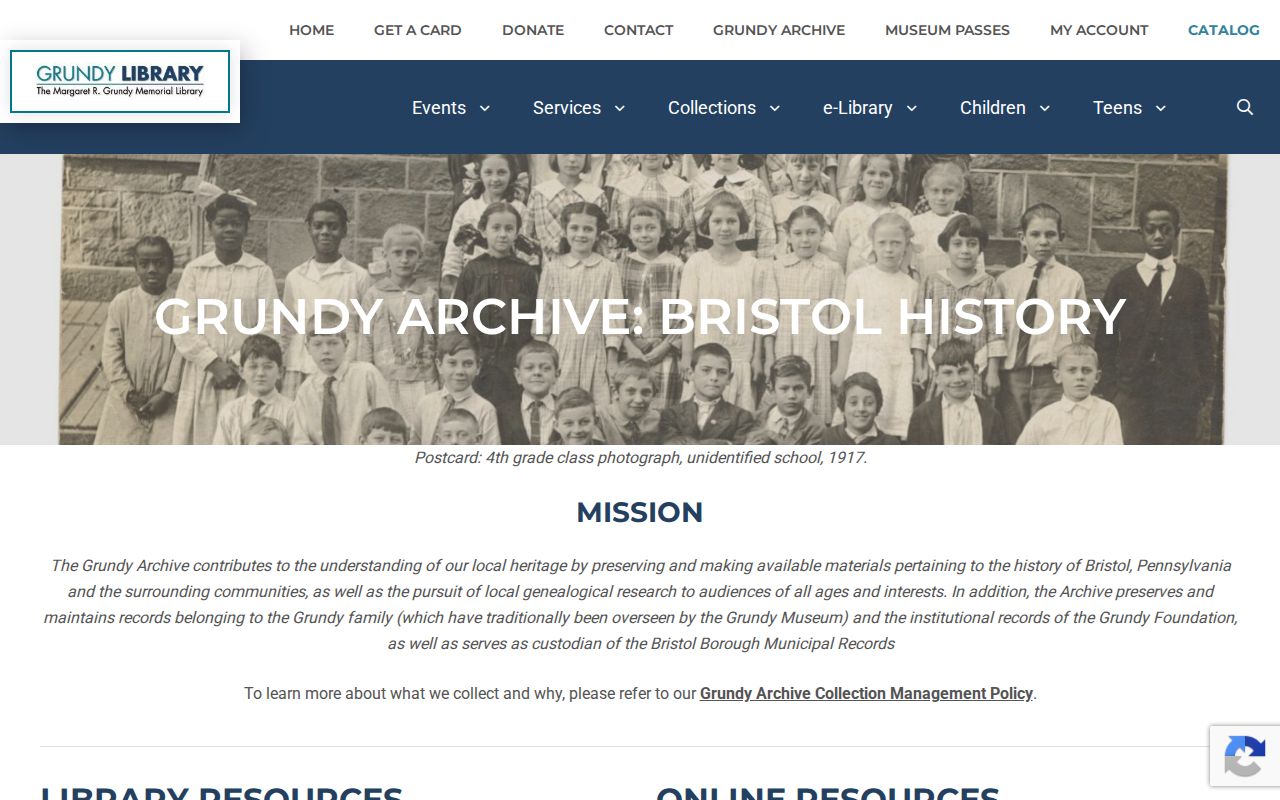
Remote and onsite inquiry can fill a gap when a digitized directory does not match the parcel's historic geography. State the address, the date range, and the exact source sought.
Bristol Township Census Pairing
For past residents, use directories to fill the intervals between federal census releases. The public census follows a 72-year release rule, and 1950 is the newest fully released census at the research date. Bucks County public-library services provide in-library Ancestry Library Edition and remote HeritageQuest under their stated access conditions. Those services can support a name and address investigation, but a census gives a single historical snapshot rather than an unbroken address timeline.
Pair the parcel and deed dates with a directory before and after an ownership change. Then compare a 1940 or 1950 census entry where the place and address evidence line up. If a surname disappears, check a probate opening, an obituary, marriage record, or later deed transaction instead of assuming a move date.
Address and parcel → title date → nearby directory year → 1940 or 1950 census snapshot → later deed, obituary, or probate lead.
Note: A directory or census name should be corroborated with the parcel and date, because Bristol Borough, Levittown, and Township place labels can overlap in historical searching.
Bristol Township House History Evidence
A deed is not a construction-date record. The Recorder specifically warns that a deed may refer only to buildings already on the land, or say nothing about structures. For a physical-change question, ask Bristol Township Building and Planning for an existing permit, inspection, certificate, plan, or code record by address, date window, department, and document type. The Township offers online and in-person permit routes, but no public historic permit search was verified. A focused Pennsylvania Right-to-Know Law request is the documented fallback for releasable Township files.
Historic maps may add context, not certainty. The Library of Congress Sanborn guide is an inquiry route, but no precise Bristol Township map-year run was confirmed. Use a map, directory, newspaper notice, permit, and title record together. Bristol Township history also spans older corridor areas, postwar development, and places described with Bristol Borough or Levittown labels, so the development era should be verified against the parcel rather than assumed from the postal name.
Bristol Township Previous Residents Context
The depth of the Bucks title system is unusual: the Recorder holds records from 1684 to the present, while the nearby Grundy directory collection reaches 1954 and local newspaper material extends into the modern period. The sources do not form one seamless archive. Recorder index books, microfilm, digitized directories, archive inquiries, and Township paper files each preserve a different part of the trail. The Township's 2026 budget describes a Building and Planning paperless-conversion effort involving historic paper files in Lektriever carousels and basement storage, but it does not establish that all old permits are online.
That mix is why a careful former-address search has more than one access channel. Use the fee-based online route when it fits, the Recorder research area and copy process for older title work, library and archive inquiries for contextual records, and a targeted RTKL request only for a known municipal file. No reviewed source confirms broad local record loss, so an unlocated record should be described as unlocated, not presumed destroyed.